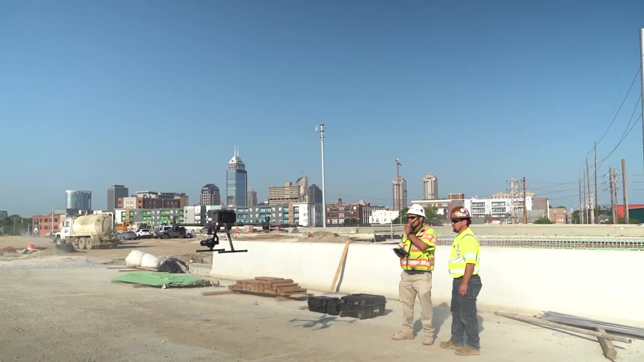
Eyes in the Sky:
North Split Crews Using Drones to Speed Construction, Accuracy
In 2020, Superior Construction won the bid to oversee work on the North Split construction project. To help conduct surveys of the construction site, the company partnered with Australia-based Propeller Aero, which offers a turnkey 3D drone mapping and analytics platform.
Before work on the project began, Superior placed baseball-sized AeroPoints throughout the construction site to triangulate reference points for each drone flight. Since November 2020, Superior’s drone has made roughly 170 flights – approximately two back-to-back flights every two weeks. During each one, the drone takes about 3,500 high-resolution images that are then uploaded into Propeller’s proprietary software platform and stitched together into 3D maps of the construction site.
Drone footage has allowed Superior’s highway builders to double-check the placement of drainage structures, monitor traffic including lane management during construction, and make real-time decisions when plans are unexpectedly altered.
In the past, teams would need to send a surveyor out to collect the new information, postponing work and adding extra, timely steps. By utilizing the drone footage, accurate decisions are made more quickly.

